 Burmese
 English


Heavy Rainfall Warning No.(62)
Heavy Rainfall Warning No.(62)
Issued at 08:00 hours M.S.T on 31-8-2026
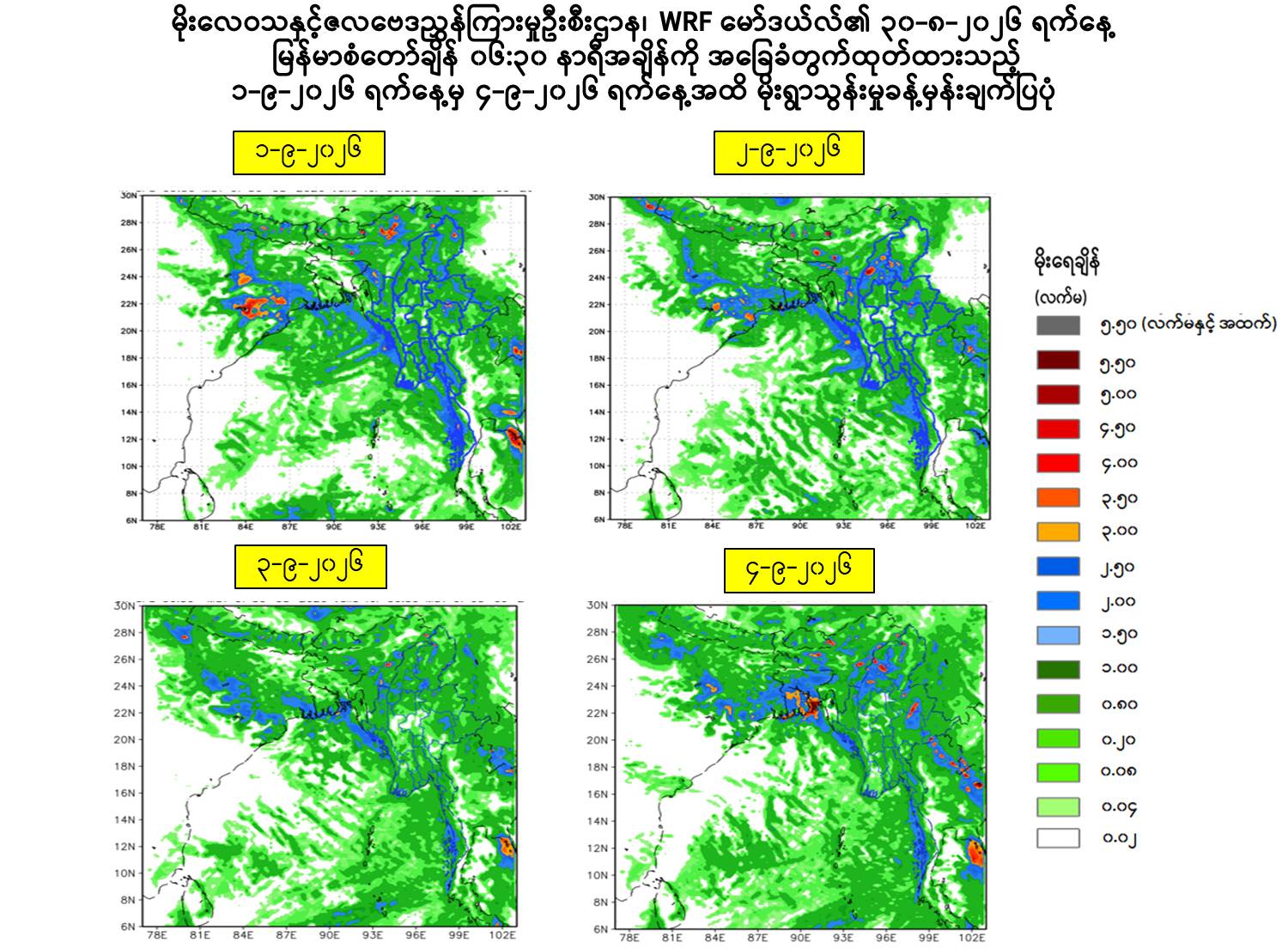
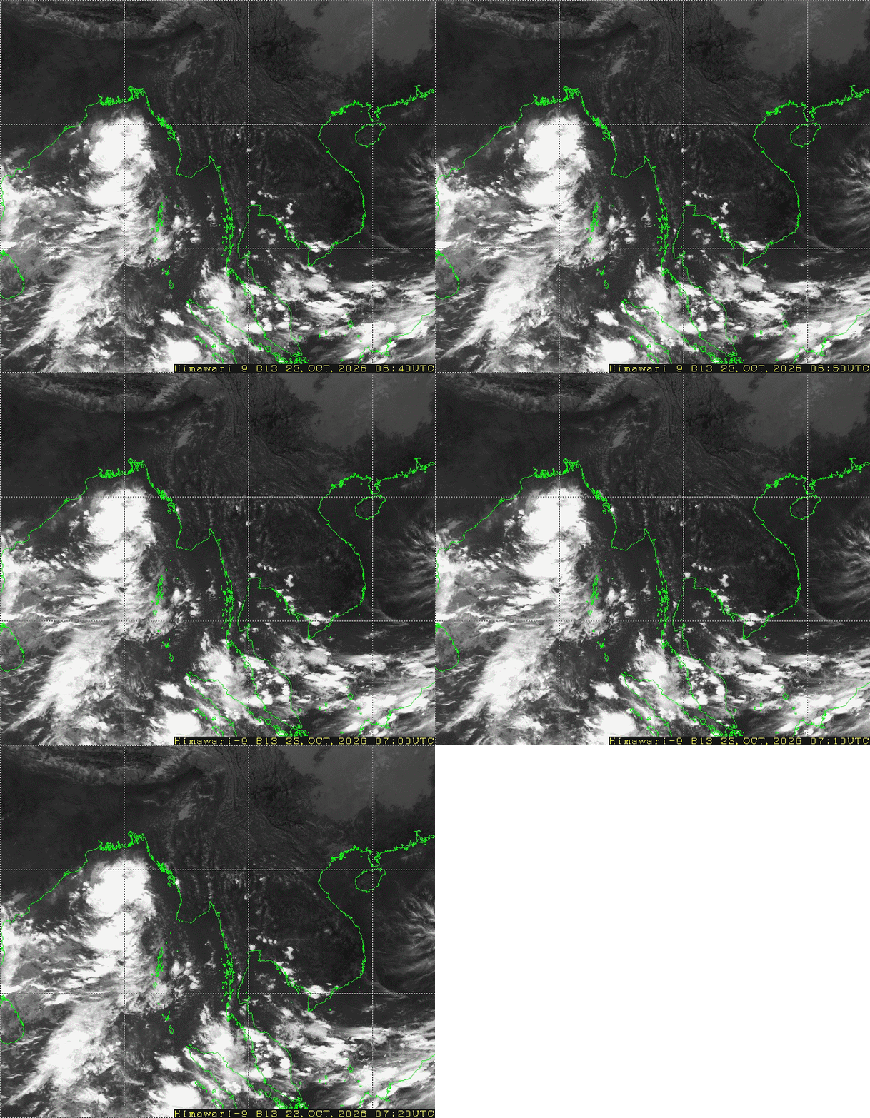
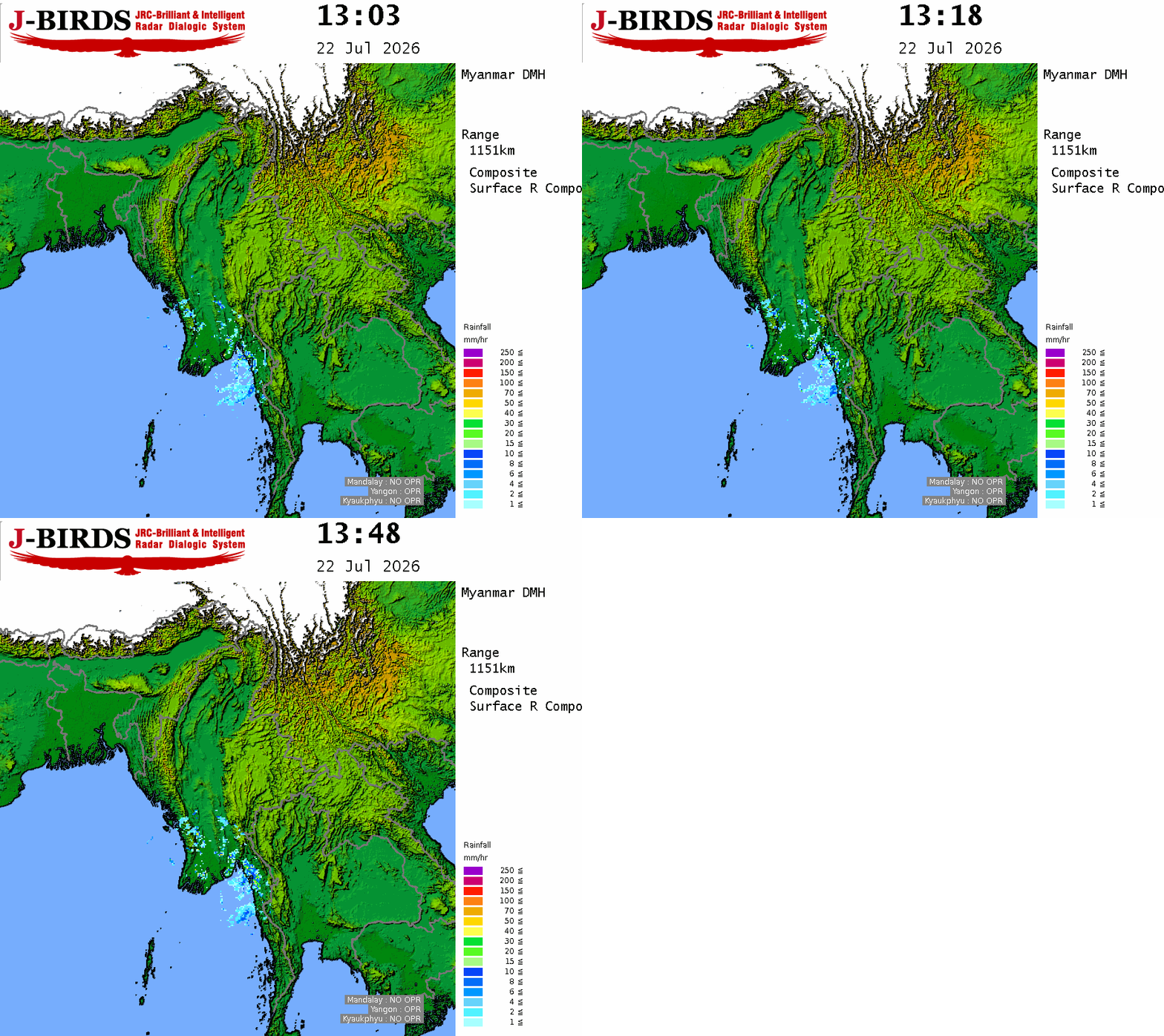
According to the observations at 06:30 hrs MST today, due to the strong monsoon over the Andaman Sea and Bay of Bengal, the Well Marked Low Pressure Area over Gangetic West Bengal and adjoining North Odisha coasts, India and Northwest Bay of Bengal and the strong development of the convective clouds such as rain or thundershowers are likely to be fairly widespread to widespread in Naypyitaw, Yangon, Mandalay, Bago, Magway, Sagaing, Ayeyarwady, Taninthayi Regions and Kachin, Kayah, Kayin, Chin, Mon, Rakhine, Shan States with likelihood of isolated heavyfalls in Upper Sagaing, Taninthayi Regions and Kachin, Chin, Rakhine, Shan States during this morning to 4-9-2026.
Squalls with rough seas are likely at time off and along Myanmar Coasts. Surface wind speed in squalls may reach 30-35 m.p.h. Wave height will be about 10-12 feet off and along Myanmar Coasts.
Advisory
People should be awared are due to the strong monsoon over the Andaman Sea and Bay of Bengal, the Well Marked Low Pressure Area over Gangetic West Bengal and adjoining North Odisha coasts, India and Northwest Bay of Bengal and the strong development of the convective clouds such as the heavy rainfall with strong wind, flash flood and landslide in the hilly areas and near small rivers and inland water transport and domestic flight.





 R E P O R T S

