 Burmese
 English


Sea Route Forecast
BAY BULLETIN
Issued at (19:00) hrs MST on 28-5-2017 Valid for Next (24) Hours
BALLOON :
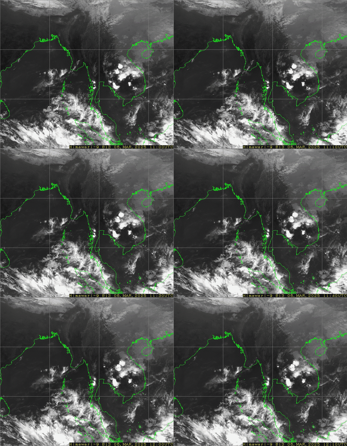
PART ONE : According to the observations at (18:30)hrs M.S.T today, the depression over Central Bay and adjoining Southeast Bay of Bengal has further intensified into a deep depression and moved over East Central Bay of Bengal. It is centered at about within ½ degree of Lat (15.2)°N and Lon (90.5)°E. It is forecast to move Northeast wards and intensify into a cyclonic storm during next (24)hrs.
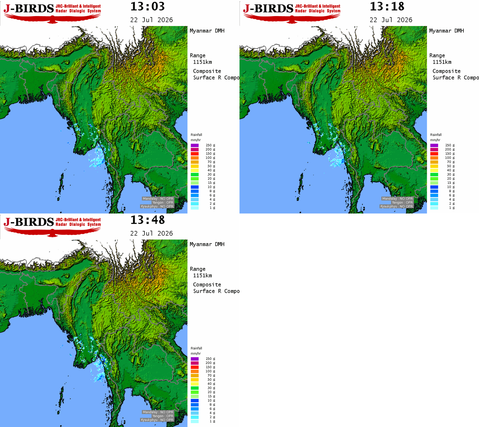
PART TWO : Monsoon is moderate over East Central Bay and strong to vigorous over the Andaman Sea and South Bay of Bengal. Weather is cloudy elsewhere over the Bay of Bengal.
PART THREE:
FORECAST FOR AREAS BETWEEN LAT. 10.5°N – 16.5°N AND LONG. 92°E
WEATHER : Widespread rain or thundershowers will squally weather.
VISIBILITY : (4) nautical miles but (1/2) nautical mile in rain.
SURFACE WIND : South or Southwest (15-20) kts at times (35)kts.
SEAS : Rough.
FORECAST FOR AREAS BETWEEN LAT. 16.5°N – 20.5°N AND LONG. 92°E
WEATHER :Widespread rain or thundershowers will squally weather.
VISIBILITY : (4) nautical miles but (1/2) nautical mile in rain.
SURFACE WIND : East or Southeast (15 -20) kts at times (35)kts.
SEAS :Rough.
HOIST : Signal (All ports), LC: Section(III, VI)
PLACE : STW,KPU,TDE,MLM,DWE,KONG,COI,YGN,PTH





 R E P O R T S
