 Burmese
 English

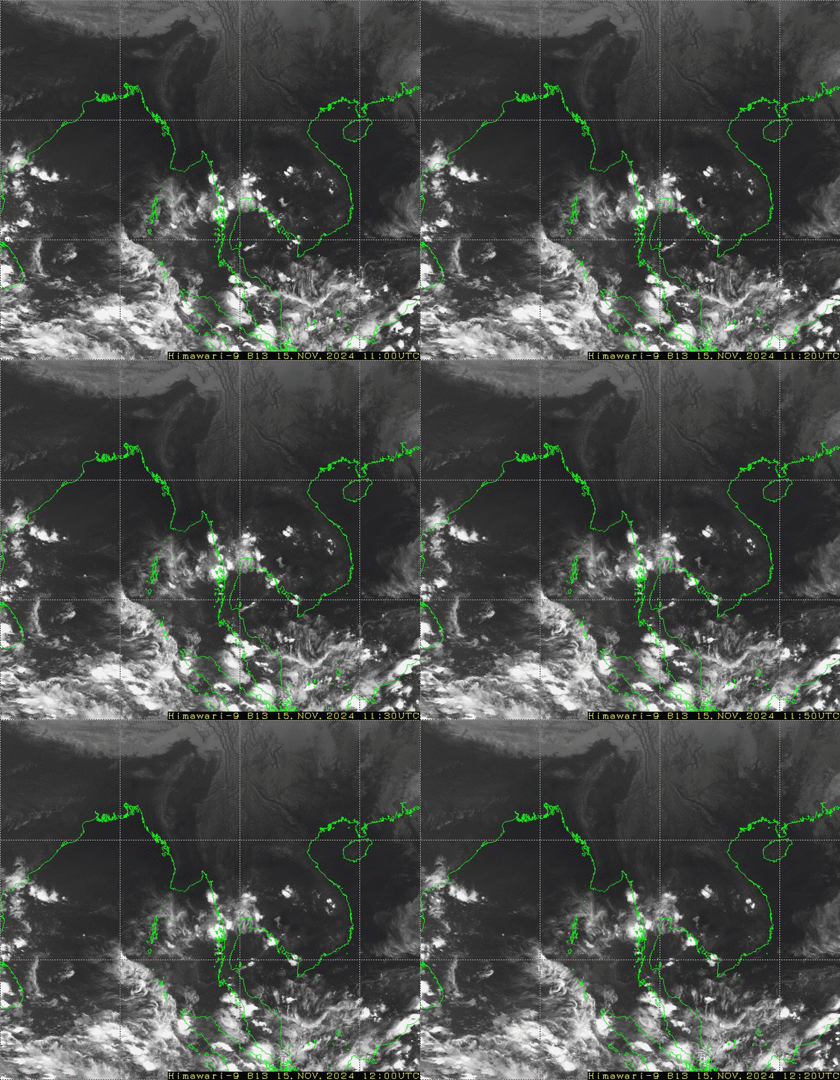
၁၃-၉-၂၀၂၆:ကပ္ပလီပင်လယ်ပြင်နှင့် ဘင်္ဂလားပင်လယ်အော်တို့တွင် မုတ်သုံလေ အား အနည်းငယ်မှ အားအသင့်အတင့် ရှိနေပါသည်။ ဘင်္ဂလားပင်လယ်အော်မြောက်ပိုင်းနှင့် တောင်ပိုင်းတို့တွင် တိမ် အနည်းငယ်မှ တိမ်အသင့်အတင့် ဖြစ်ထွန်းနေပြီး ကပ္ပလီပင်လယ်ပြင်နှင့် ကျန်ဘင်္ဂလားပင်လယ်အော်တွင် တိမ်အသင့် အတင့်မှ တိမ်ထူထပ်နေပါသည်။
WFR Model ခန့်မှန်းချက်
WRF MODEL OUTPUTS
Issued on (14.2.2022)
Forecast for Surface Temperature & Pressure
WRF MODEL OUTPUTS
Issued on (13.2.2022)
Forecast for Surface Temperature & Pressure
WRF MODEL OUTPUTS
Issued on (8.2.2022)
Forecast for Surface Temperature & Pressure
Weather Forecast for Regions & States Cities
(8.2.2022) to (11.2.2022)
Weather Forecast for Regions & States Cities
(5.2.2022) to (8.2.2022)
WRF MODEL OUTPUTS
Issued on (5.2.2022)
Forecast for Surface Temperature & Pressure
WRF MODEL OUTPUTS
Issued on (4.2.2022)
Forecast for Surface Temperature & Pressure
WRF MODEL OUTPUTS
Issued on (2.2.2022)
Forecast for Surface Temperature & Pressure
Weather Forecast for Regions & States Cities
(2.2.2022) to (5.2.2022)
WRF MODEL OUTPUTS
Issued on (1.2.2022)
Forecast for Surface Temperature & Pressure





 အ စီ ရင် ခံ စာ များ
