 Burmese
 English

BAY BULLETIN
BAY BULLETIN
ISSUED ON : 6 – 12 - 2022 AT: 13:00 hrs M.S.T
COMPOUND :
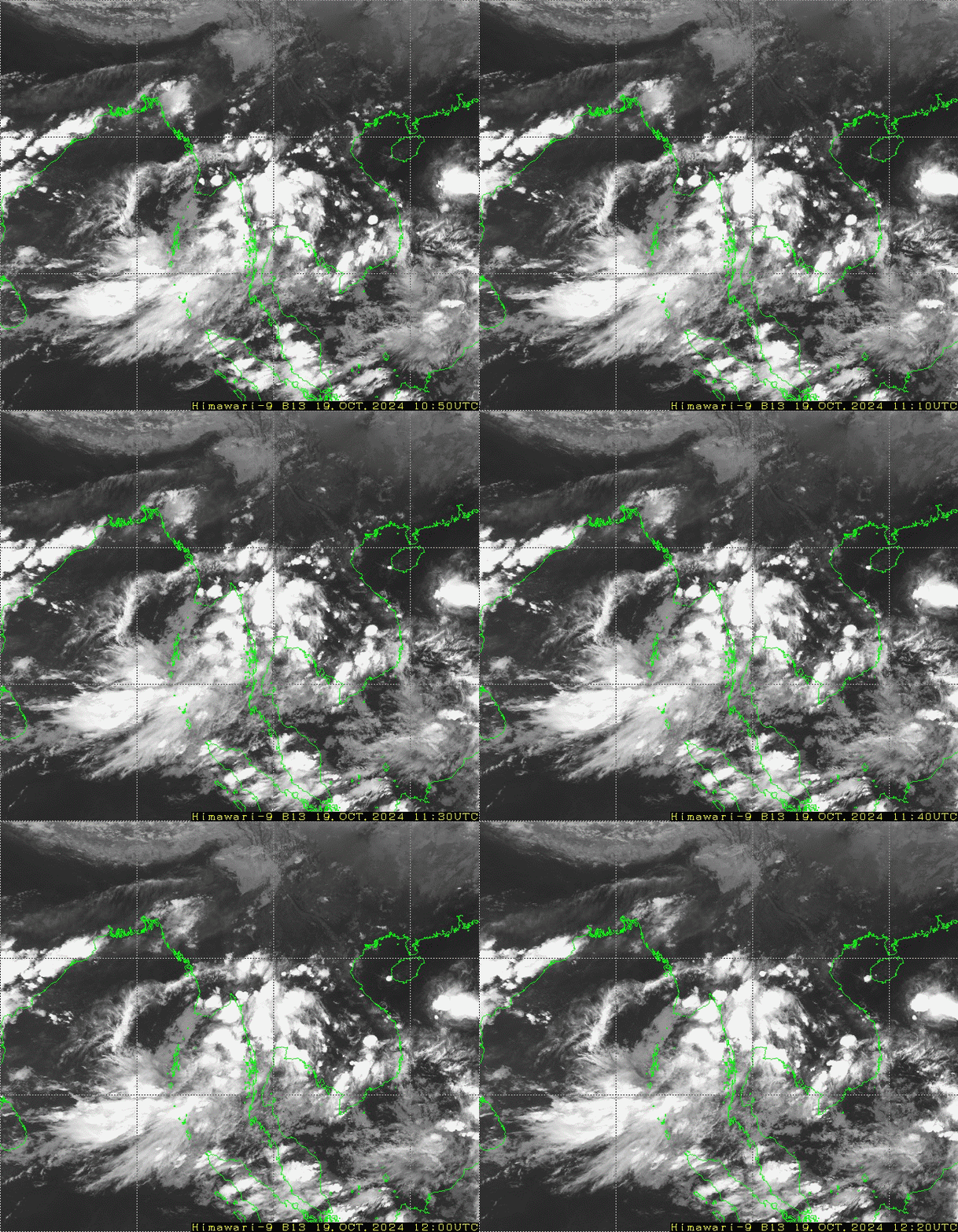
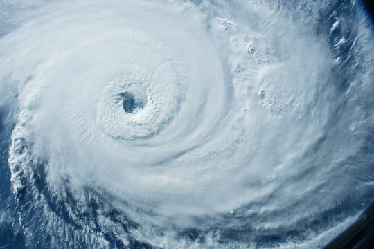
PART ONE : According to the observations at (11:30) hrs M.S.T today, the Well Marked Low Pressure Area over the Southeast Bay of Bengal still persists. It is likely to move West-Northwest wards and concentrate into a Depression over Southeast Bay of Bengal during next (12) hrs. Thereafter, it is likely continue to move West-Northwest wards and further intensify into a Cyclonic Storm and reach North Tamilnadu-Puducherry and adjoining South Andhra Pradesh coasts (India) around (8.12.2022).
PART TWO : Weather is partly cloudy over the Andaman Sea and North Bay and cloudy elsewhere over the Bay of Bengal.
PART THREE :
FORECAST FOR AREAS BETWEEN LAT. 10.5°N – 16.5°N AND LONG. 92°E
WEATHER : Scattered rain or thundershowers.
VISIBILITY : (4) nautical miles but (1) nautical mile in rain.
SURFACE WIND : East or Southeast (10 - 15) kts at times (30-35)kts.
SEAS : Rough.
WAVE HEIGHT : (9 - 11)ft.
FORECAST FOR AREAS BETWEEN LAT. 16.5°N – 20.5°N AND LONG. 92°E
WEATHER : Isolated rain or thundershowers.
VISIBILITY : (4) nautical miles but (1) nautical mile in rain.
SURFACE WIND : North or Northeast (5 - 10) kts at times (20-25)kts.
SEAS : Moderate.
WAVE HEIGHT : (5 - 7)ft.
HOIST : Signal LC (V), (VI)
DC II, Section (III),(VI)
ADD :
PLACE : COI, YGN, PTH, MLM, DWI, KTG





 အ စီ ရင် ခံ စာ များ
