 Burmese
 English


Myanmar Daily Weather Report
Myanmar Daily Weather Report
(Issued at 2:00 pm Saturday 31st October, 2026)
SUMMARY OF OBSERVATIONS RECORDED FROM YESTERDAY MORNING 09:30 hrs M.S.T TODAY MORNING 09:30 hrs M.S.T: During the past 24 hours, rain or thundershowers have been widespread in Southern Shan State, fairly widespread in Rakhine State, scattered in Yangon, Mandalay, Bago, Ayeyarwady, Taninthayi Regions and Kachin State, isolated in Naypyitaw, Magway Region and Kayin, Mion States and weather have been partly cloudy in the remaining Regions and States. The highest day temperatures were 38.0°C in Sagaing, 37.6°C in Chauk, 37.4°C in Myawaddy, 37.0°C each in Tharrawady, Myinmu and Dawei, 36.9°C in Belin, 36.7°C in Bago, 36.5°C each in Shwekyin, Pakokku and Mudon on 29-10-2026. The noteworthy amount of rainfall recorded were 1.38 inches in Hinthada, 1.34 inches in Thazi(Hlaingtat), 1.18 inches in Manaung, 1.00 inches in Kyeiklat, 0.79 inch each in Thayat and Nyaungshwe, 0.61 inch in Myanaung, 0.47 inch in Hmawbi(Agro), 0.35 inch in Wetthtigan(Laydatpyin)and 0.32 inch in Taunggyi.
BAY INFERENCE: According to the observations at 12:30 hrs MST today, the Well Marked Low Pressure Area has formed over the Southeast Bay of Bengal and adjoining Andaman and Nicobar Islands still persists. It is likely to intensify into a Depression over the Southeast Bay of Bengal and adjoining Andaman and Nicobar Islands during next 12 hours and towards Andhra Pradesh coast, India on 2-11-2026.Weather is a few cloud to partly cloudy over the North Bay of Bengal and partly cloudy to cloudy over the Andaman Sea and elsewhere over the Bay of Bengal.
FORECAST VALID UNTIL MORNING OF THE 01st November 2026: Rain or thundershowers will be fairly widespread in Yangon, Ayeyarwady, Taninthayi Regions and Southern Shan state, scattered in Naypyitaw, Mandalay, Bago Regions and Kayin, Mon, Rakhine States and isolated in the remaining Regions and States with isolated heavyfalls in Yangon, Ayeyarwady, Taninthayi Regions. Degree of certainty is 100%.
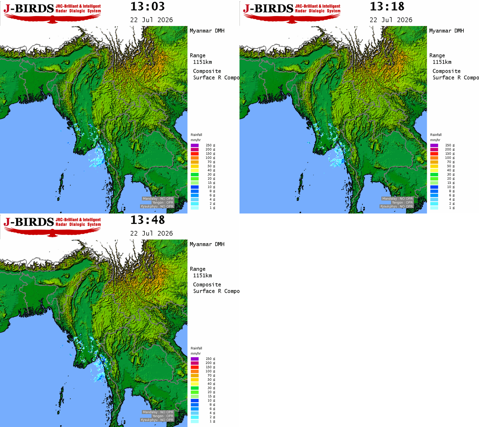
THE CONDITION OF CUMULONIMBUS CLOUD: The Cumulonimbus clouds are developing in Yangon, Mandalay, Magway, Ayeyarwady, Taninthayi Regions and Kayah, Kayin, Chin, Rakhine, (Southern and Eastern)Shan States. The area along the Cumulonimbus clouds movement, the weather phenomena such as strong winds accompanied with rain, thunder, lightning and hail may occur and therefore it is recommended to be aware in advance these phenomena.
STATE OF THE SEA: Squalls with rough sea are likely at times in Deltaic, Gulf of Mottama, off and along Mon-Taninthayi Coasts. Surface wind speed in squall may reach 30 mph. Wave height will be about 8-10 feet in Deltaic, Gulf of Mottama, off and along Mon-Taninthayi Coasts. Squalls with moderate to rough seas are likely at times off and along Rakhine Coast. Surface wind speed in squall may reach 25-30 mph. Wave height will be about 6-8 feet off and along Rakhine Coast.
OUTLOOK FOR SUBSEQUENT TWO DAYS: Likelihood of slight decrease of night temperatures in Kachin, Chin, Northern Shan States.
FORECAST FOR NAYPYITAW AND NEIGHBOURING AREA FOR 01st November 2026: Isolated rain or thundershowers. Degree of certainty is 80%
FORECAST FOR YANGON AND NEIGHBOURING AREA FOR 01st November 2026: Isolated rain or thundershowers. Degree of certainty is 80%.
FORECAST FOR MANDALAY AND NEIGHBOURING AREA FOR 01st November 2026: Likelihood of isolated rain or thundershowers. Degree of certainty is 60%.







 R E P O R T S

