 Burmese
 English

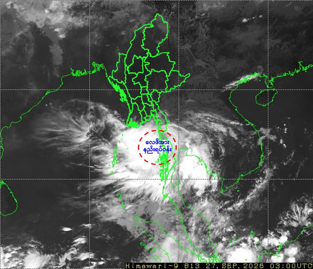
လေဖိအားနည်းရပ်ဝန်းအခြေအနေ
Low Pressure Area Conditions
Low Pressure Area Condition
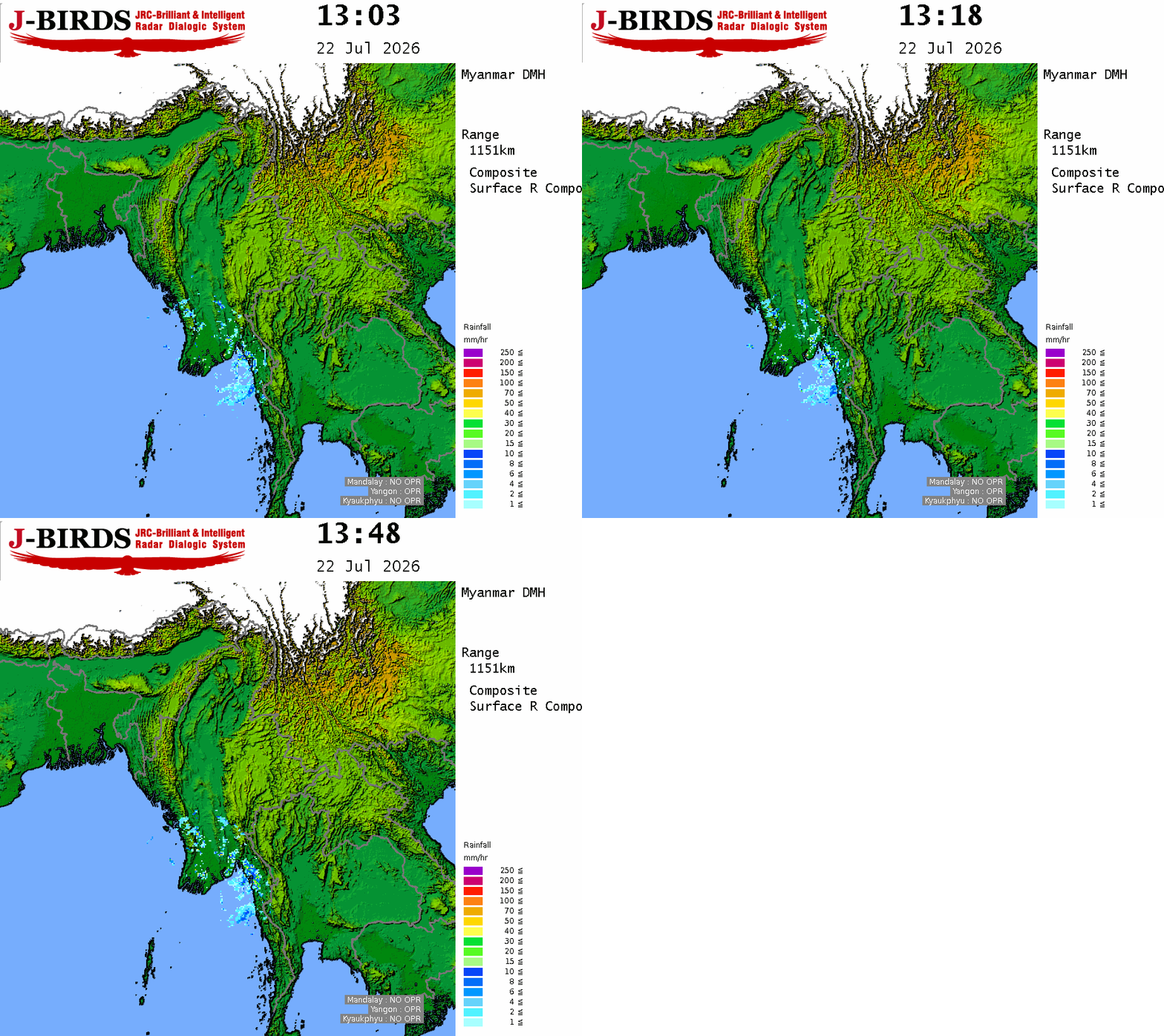
According to the observations at 09:30 hrs MST today, a Low Pressure Area has formed over the Taninthayi coast, Myanmar and adjoining the Andaman Sea.
Next 24 hours forecast
It is likely to move North-Northwestwards and may reach over the North Andaman Sea and adjoining the Deltaic, Ayeyarwady.
General caution
Due to the Low Pressure Area, rain or thundershowers are likely to be fairly widespread to widespread in Naypyitaw, Yangon, Bago, Magway, Ayeyarwady, Taninthayi Regions and Kayah, Kayin, Mon, Rakhine States with likelihood of regionally and isolated heavyfalls during today’s morning to 30-9-2026.
Occassional squalls with rough sea will be experienced in Deltaic, Gulf of Mottama, off and along Mon-Taninthayi Coast. Surface wind speed in squall may reach 35 mph. Wave height will be about 10-12 feet in Deltaic, Mottama, off and along Mon-Taninthayi Coast. Squalls with moderate to rough seas are likely at times off and along Rakhine Coast. Surface wind speed in squall may reach 25-30 mph. Wave height will be about 8-10 feet in off and along Rakhine Coast.
Advisory
People should be awared the natural disasters such as the heavy rainfall with strong wind, thunder, Lightning strike, lightning, hails, flash flood and landslide in the hilly areas and near small rivers and to make necessary preparations for inland water transport, domestic flight and irrigation dams.





 R E P O R T S
