 Burmese
 English


BAY BULLETIN
BAY BULLETIN
ISSUED ON : 19– 9 – 2024 AT: 13:00 hrs M.S.T
COMPOUND :
PART ONE : No storm.
PART TWO : Monsoon is strong to vigorous over the Andaman Sea and South Bay and moderate elsewhere over the Bay of Bengal.
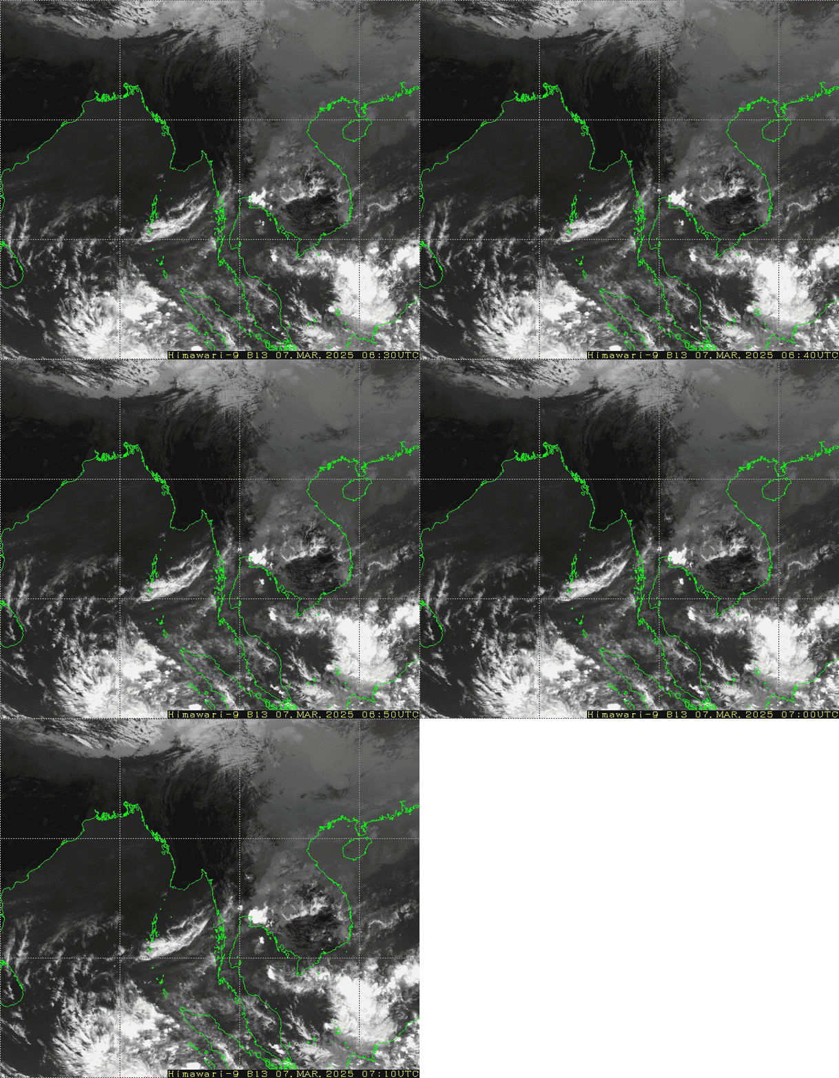
SPECIAL FEATURES: According to the observations at (12:30)hrs MST today, the Tropical Storm “SOULIK” over South China Sea has moved West-Southwestwards and it is centered at about 80 Nautical miles Northwest of Da Nang(Vietnam), It is likely to cross to the Central coast of Vietnam at tonight. The remanant clouds and wind wave from the tropical storm start cross over Southeastern parts of Myanmar and then continue to move West-Southwestwards and it may re-initiate into a Low Pressure Area over the Andaman sea and Bay of Bengal on (20-9-2024).
PART THREE:
FORECAST FOR AREAS BETWEEN LAT. 10.5°N – 16.5°N AND LONG. 92°E
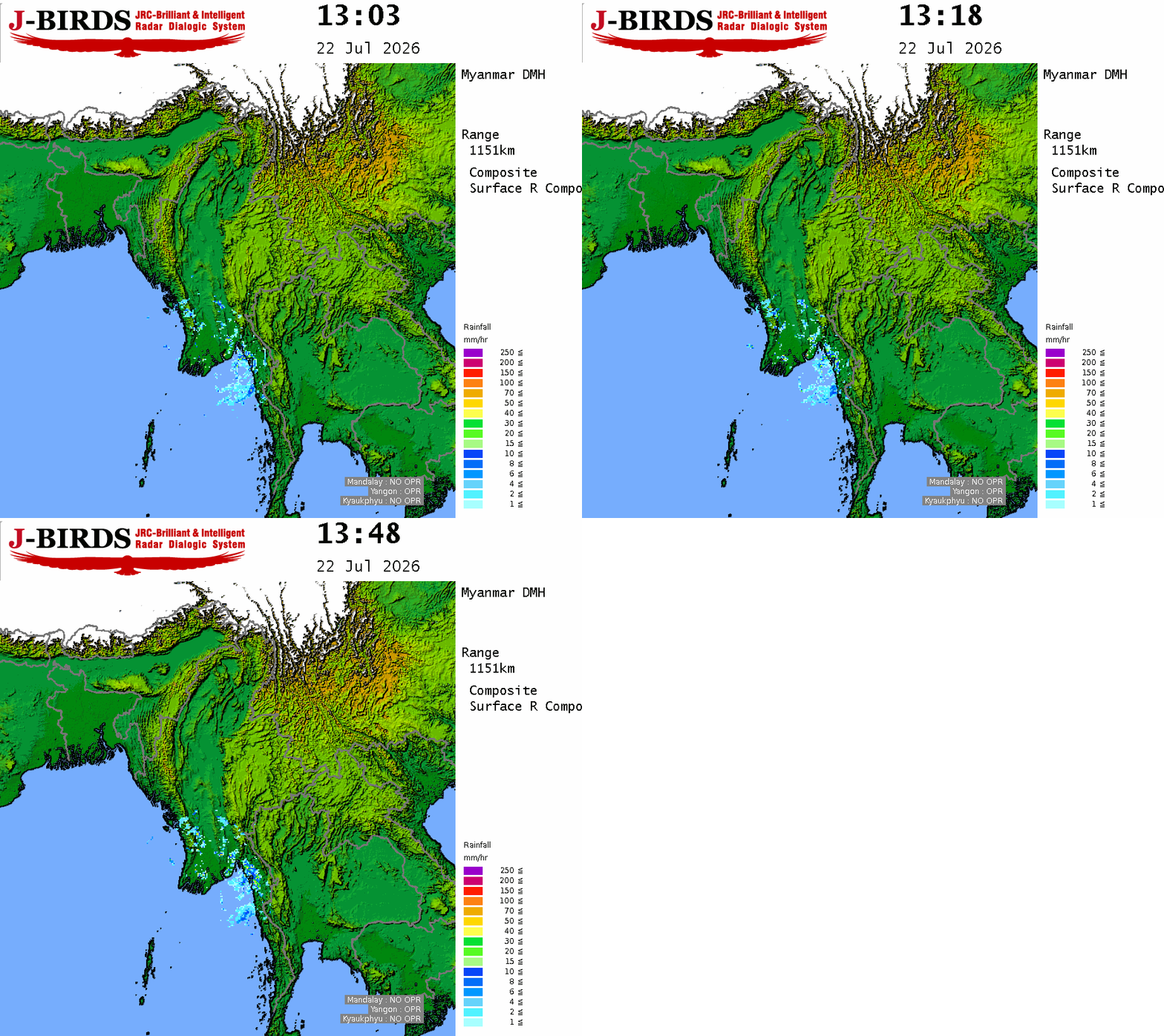
WEATHER : Widespread rain or thundershowers with likelihood of isolated heavyfalls.
VISIBILITY : 3 nautical miles but less than 1/2 nautical mile in rain.
SURFACE WIND : West or Southwest 15-20 kts at times 30-35 kts.
SEAS : Rough.
WAVE HEIGHT : 8-10 ft.
FORECAST FOR AREAS BETWEEN LAT. 16.5°N –20.5°N AND LONG. 92°E
WEATHER : Fairly widespread rain or thundershowers.
VISIBILITY : 4 nautical miles but 1 nautical mile in rain.
SURFACE WIND : West or Northwest 5-10 kts at times 25 kts.
SEAS : Moderate.
WAVE HEIGHT : 5-7 ft.
HOIST :
ADD :
PLACE :





 R E P O R T S
