 Burmese
 English

"အချိန်အခါမဟုတ်မိုးရွာနိုင်မည့်သတိပေးချက်"
"အချိန်အခါမဟုတ်မိုးရွာနိုင်မည့်သတိပေးချက်"
(မြန်မာစံတော်ချိန် (၁၆း၀၀) နာရီအချိန်ထုတ်ပြန်ချက်)
အချိန်အခါမဟုတ် မိုးရွာနိုင်မည့် သတိပေးချက်
အမှတ်စဉ် (၃/၂၀၁၇)
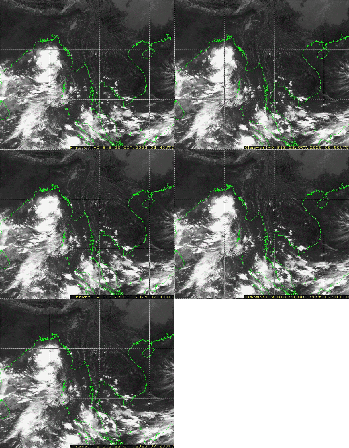
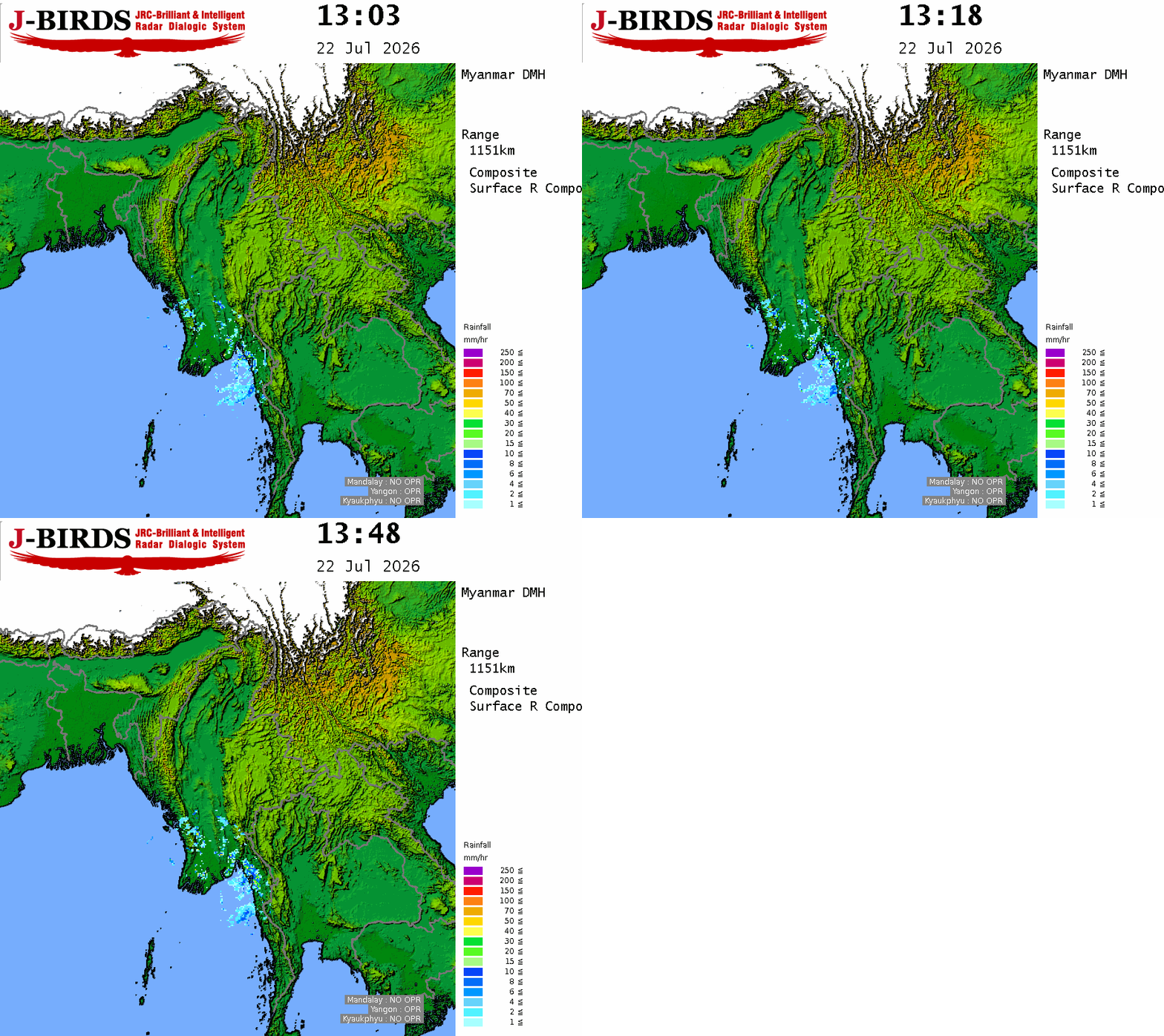
ယနေ့မြန်မာစံတော်ချိန် (၁၅း၃၀) နာရီအချိန် မိုးလေဝသတိုင်းထွာချက်များအရအနောက်ဘက်မှ
ရွေ့လျားလာသော လေအေးများနှင့် ဘင်္ဂလားပင်လယ်အော်ဘက်မှ ရွေ့လျားလာသော လေနွေးများ
စုဆုံမှုကြောင့်လည်းကောင်း၊ အရှေ့ဘက်မှ ရွေ့လျားလာသော လေပွေလှိုင်းများကြောင့်လည်းကောင်း၊
ယနေ့ညနေမှ နောက်(၃)ရက်အတွင်း စစ်ကိုင်းတိုင်းဒေသကြီး၊ ကချင်ပြည်နယ်၊ ချင်းပြည်နယ်နှင့် ရခိုင်
ပြည်နယ်တို့တွင် နေရာကျဲကျဲနှင့် နေပြည်တော်၊ မန္တလေးတိုင်းဒေသကြီး၊ မကွေးတိုင်းဒေသကြီး၊ တနင်္သာရီ
တိုင်းဒေသကြီးနှင့် ရှမ်းပြည်နယ်(မြောက်ပိုင်း)တို့တွင် နေရာကွက်ကျား မိုးထစ်ချုန်းရွာနိုင်ပါသည်။




 R E P O R T S

