 Burmese
 English


Myanmar Daily Weather Report
Myanmar Daily Weather Report
(Issued at 2:00 pm Tuesday 25th August, 2026)
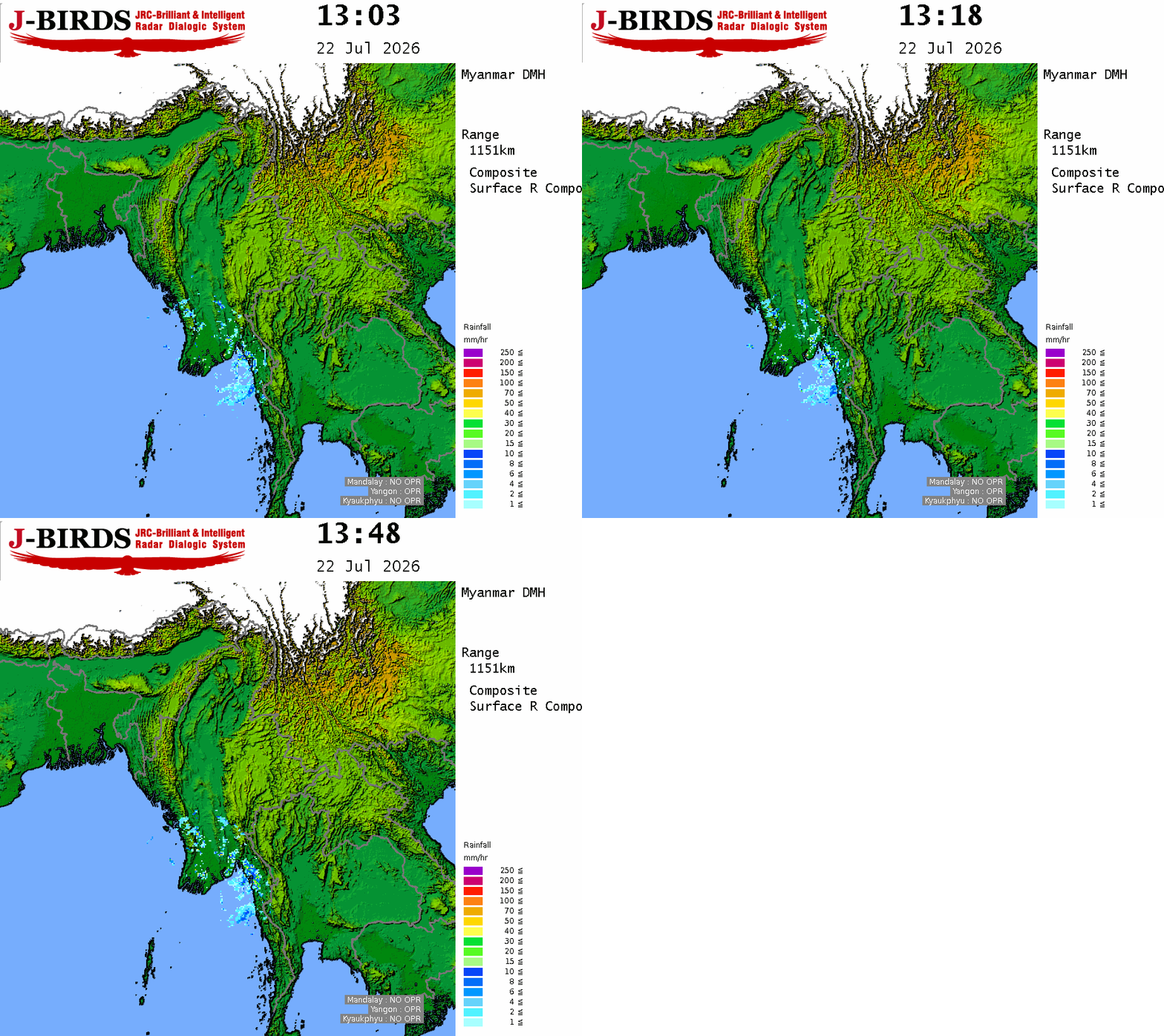
SUMMARY OF OBSERVATIONS RECORDED FROM YESTERDAY MORNING 09:30 hrs M.S.T TODAY MORNING 09:30 hrs M.S.T: During the past 24 hours, weather has been partly cloudy in Chin State. Rain or thundershowers have been isolated in Magway Region and Kayah, Eastern Shan States, fairly widespread in Mandalay, Bago, Sagaing, Ayeyarwady Regions and widespread in the remaining Regions and States with regionally heavyfalls in Mon State and isolated heavyfalls in Mandalay Region and Kachin State. The noteworthy amount of rainfall recorded were 8.07 inches in Mudon, 4.85 inches in Myitkyina, 4.72 inches in Mawlamyine, 4.25 inches in Chaungsone, 4.18 inches in Kyeikmayaw, 2.95 inches in Ye, 2.75 inches in Paing Kyone, 2.64 inches in Belin, 2.42 inches in Kya-In-Seikkyi and 2.40 inches in Kawkareik.
BAY INFERENCE: According to the observations at 12:30 hrs MST today, the low pressure area over the West Bengal and adjoining areas of Jharkhand and North Odisha still persists. It is likely to move Northwestwards and across Jharkhand and North Odisha, India during next 24 hours. Monsoon is strong over the Andaman Sea and South Bay of Bengal and moderate elsewhere over the Bay of Bengal. Weather is partly cloudy over the South Bay of Bengal and partly cloudy to cloudy over the Andaman Sea and elsewhere over the Bay of Bengal.
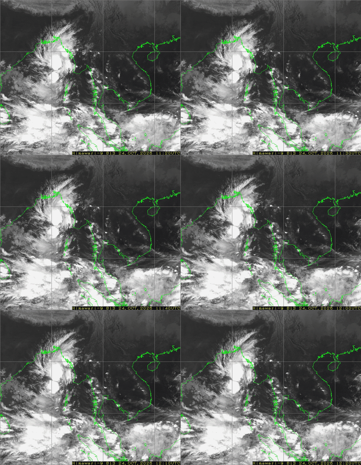
Special Features: According to the observations at 12:30 hrs MST today, the tropical storm “NARRA” over the Gulf of Tokin is likely to move slowly Northeastwards.
FORECAST VALID UNTIL MORNING OF THE 26th August 2026: Rain or thundershowers will be scattered in Magway Region and Kayah, Chin States, fairly widespread in Mandalay Region and Eastern Shan State and widespread in the remaining Regions and States with likelihood of isolated heavyfalls in Bago, Sagaing, Ayeyarwady, Taninthayi Regions and Kachin, Kayin, Mon States. Degree of certainty is 100%.
THE CONDITION OF CUMULONIMBUS CLOUD: The Cumulonimbus clouds are developing in Naypyitaw, Yangon, Mandalay, Bago, Sagaing, Ayeyarwady, Taninthayi Regions and Kachin, Kayin, Mon, Rakhine, (Northern and Eastern)Shan states. The area along the Cumulonimbus clouds movement, the weather phenomena such as strong winds accompanied with rain, thunder, lightning and hail may occur and therefore it is recommended to be aware in advance these phenomena.
STATE OF THE SEA: Occasional squalls with rough seas will be experienced off and along Myanmar Coasts. Surface wind speed in squalls may reach 35 m.p.h. Wave height will be about 10-12 feet off and along Myanmar Coasts.
OUTLOOK FOR SUBSEQUENT TWO DAYS: Likelihood of isolated heavyfalls in Mandalay, Bago, Upper Sagaing, Ayeyarwady, Taninthayi Regions and Kachin, Kayin, Mon, Rakhine, Shan States.
FORECAST FOR NAYPYITAW AND NEIGHBOURING AREA FOR 26th August 2026: One or two rain or thundershowers. Degree of certainty is 100%.
FORECAST FOR YANGON AND NEIGHBOURING AREA FOR 26th August 2026: One or two rain or thundershowers. Degree of certainty is 100%.
FORECAST FOR MANDALAY AND NEIGHBOURING AREA FOR 26th August 2026: One or two rain or thundershowers. Degree of certainty is 100%.






 R E P O R T S
