 Burmese
 English


Myanmar Daily Weather Report
Myanmar Daily Weather Report
(Issued at 2:00 pm Wednesday 26th May, 2021)
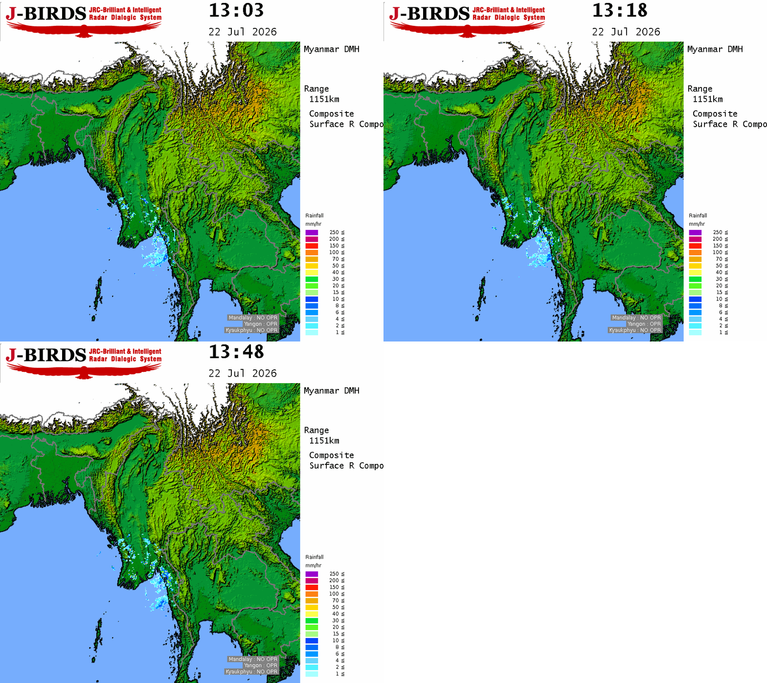
SUMMARY OF OBSERV5ATIONS RECORDED AT 09:30 hrs M.S.T: During the past (24) hours, Southwest monsoon has advanced into the Deltaic areas, Southwest Bay and Eastcentral Bay of Bengal. Rain or thundershowers has been scattered in Lower Sagaing, Mandalay Regions and Southern Shan State, fairly widespread in Upper Sagaing, Magway Regions and Northern Shan,Kayin Statesand widespread in the remaining Regions and States with regionally heavyfalls in Yangon, Ayeyarwady Regions and Kayin, Mon States. Day temperatures were (3°C) above May average temperatures in Lower Sagaing, Mandalay Regions and Kachin State, (2°C) above May average temperatures in Upper Sagaing Region and Rakhine, Kayin States and (2°C) below May average temperature in Taninthayi Region, (3°C) below May average temperatures in Ayeyarwady Region and Chin State and aboutMay average temperatures in the remaining Regions and States. The significant day temperatures were (41°C) in Sagaing and (40°C) each in Mingin, Mandalay, Myingyan, Tada U(Aiva) and Myauk U. The noteworthy amount of rainfall recorded were (6.50) inches in Chaungsone, (5.24) inches in Hainggyigyun, (5.00) inchesin Labutta, (4.69) inches in Mudon, (4.61) inches in Kyeikmayaw, (4.41) inches in Kyeikkhame, (4.06) inches in Mawlamyine, (3.50) inches in Shwegwin(Hpa-an), (3.39) inches in Belin, (3.35) inches in Hpa-an, (3.15) incheseach in Central-Yangon and Okkan, (3.11) inches in Hmawbi(Agro-Met), (2.95) inches in Launglon, (2.87) inches in Myaungmya and (2.80) incheseach in Thaton and Kawthaung.
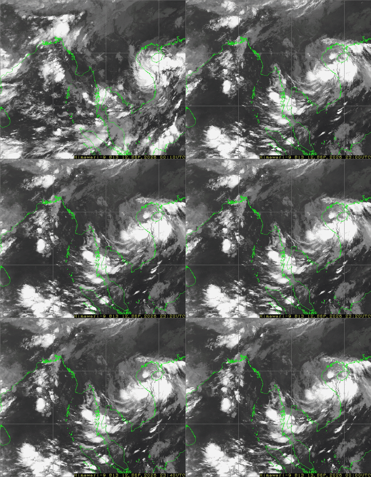
BAY INFERENCE: According to the observations at (13:30) hrs M.S.T today, the Very Severe Cyclonic Storm “YAAS”over the Northwest Bay of Bengal is crossing near South of Balasore, North India Coast. Monsoon is strong over the Andaman Sea, South Bay and eastcentral Bay of Bengal and weather is cloudy elsewhere over the Bay of Bengal.
FORECAST VALID UNTIL MORNING OF THE 27th May, 2021: Rain or thundershowers will be scattered in Lower Sagaing, Mandalay and Magway Regions, fairly widespread in Naypyitaw, Upper Sagaing Region and Kachin, Shan, Kayah States and widespread in the remaining Regions and States with isolated heavyfalls in Yangon, Ayeyarwady, Taninthayi Regions and Rakhine, Kayin, Mon States. Degree of certainty is (80%).
STATE OF THE SEA:Occasional squalls with very rough seas will be experienced inDeltaic, off and along Rakhine Coast. Surface wind speed in squalls may reach (40-45)m.p.h. Squalls with rough seas are likely at times Gulf of Mottama, off and along Mon-Taninthayi Coasts. Surface wind speed in squalls may reach (35-40)m.p.h. Wave height will be about (13 -15)feet in Deltaic, off and along Rakhine Coast and about (8-12)feet in Mottama, off and along Mon-Taninthayi Coasts.
OUTLOOK FOR SUBSEQUENT TWO DAYS:Likelihood of thundery activities in the Central Myanmar areas.
FORECAST FOR NAYPYITAW AND NEIGHBOURING AREA FOR 27th May, 2021: Isolated rain or thundershowers. Degree of certainty is (80%).
FORECAST FOR YANGON AND NEIGHBOURING AREA FOR 27thMay, 2021: Some rain or thundershowers. Degree of certainty is (100%).
FORECAST FOR MANDALAY AND NEIGHBOURING AREA FOR 27th May, 2021: Isolated rain or thundershowers. Degree of certainty is (80%).





 R E P O R T S
