 Burmese
 English


Myanmar Daily Weather Report
(Issued at 7:00 am Saturday 29th November, 2025)
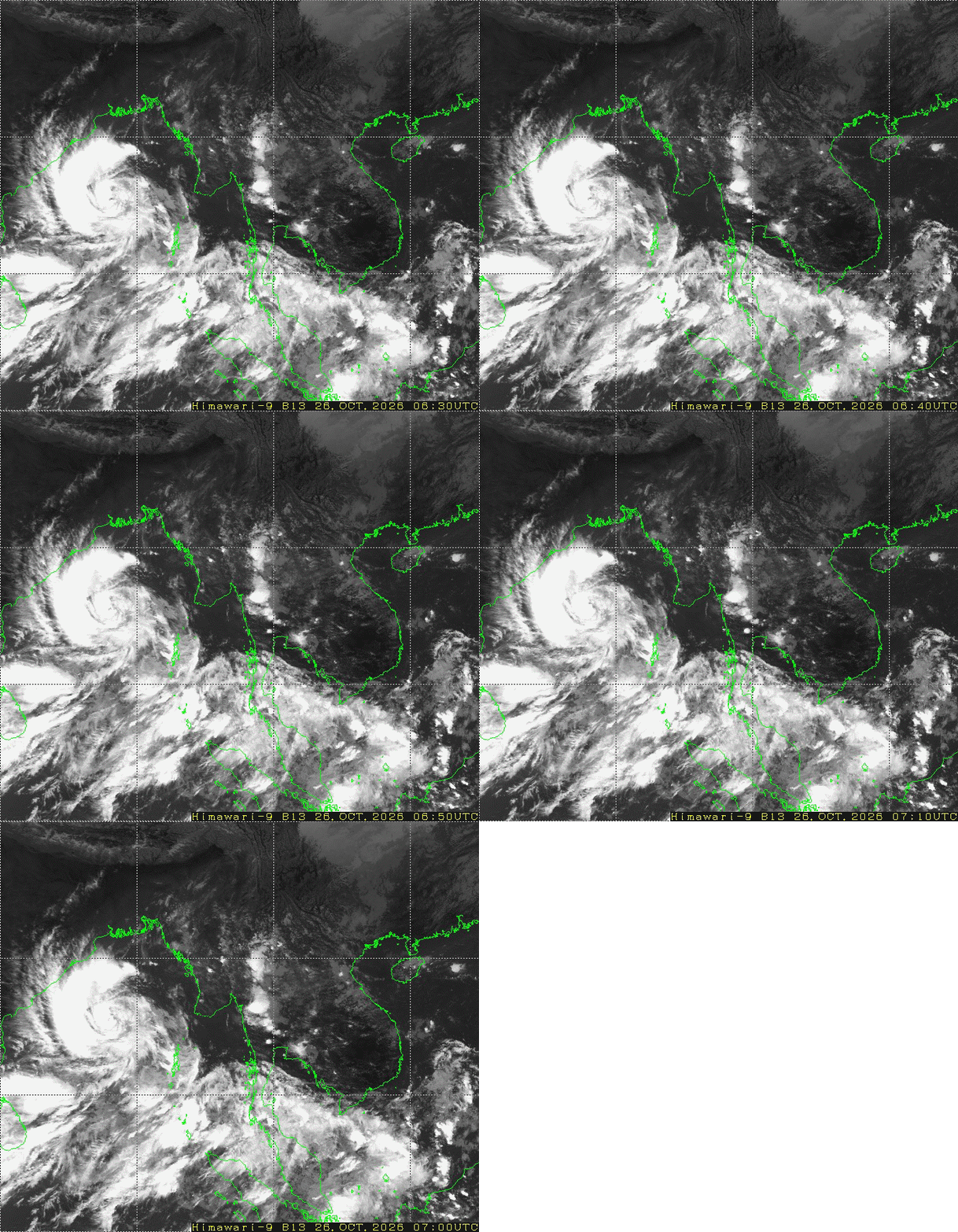
BAY INFERENCE: According to the observations at 05:30 hrs MST today, the Cyclonic Storm “DITWAH” has crossed near Trincomalee(Srilanka) and moved North- Northwestwards. It is centered at about 795 Nautical miles West-Southwest of Coco Island(Myanmar), 175 Nautical miles South-Southeast of Puducherry (India) and 45 Nautical miles West-Northwestwards of Trincomalee(Srilanka). It is likely continue to move North-Northwestwards across Northeastern parts of Sri Lanka Coast and adjoining Southwest Bay of Bengal and reach over the North Tamil Nadu and near South Andhra Pradesh coasts, India. Weather is partly cloudy to cloudy over the Southwest Bay and Westcentral Bay and A few cloud over the Andaman Sea and elsewhere over the Bay of Bengal.
SPECIAL FEATURES: According to the observations at 05:30 hrs MST today, the severe tropical storm “KOTO” over the South China Sea almost stationary and it is centered at about 195 Nautical miles East-Northeast of Nhatrang, Vietnam. It is likely to move Northwards slowly.
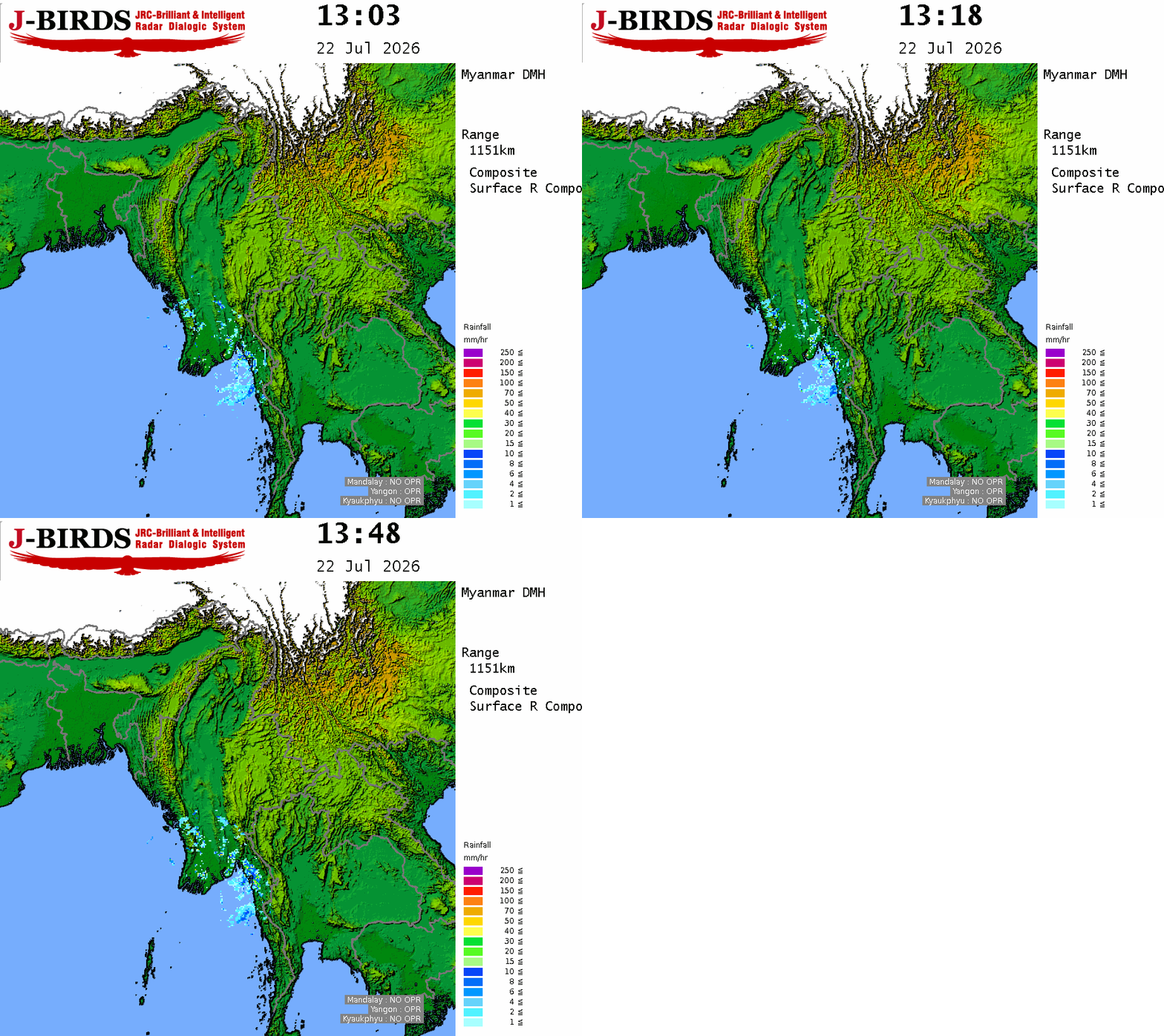
FORECAST VALID UNTIL EVENING OF THE 29th November 2025: Light rain or thundershowers are likely to be isolated in Taninthayi Region. Degree of certainty is 60%. Weather will be partly cloudy in Upper Sagaing Region and Kachin, Kayin, Mon States and generally fair in the remaining Regions and States.
STATE OF THE SEA: Sea will be moderate in Myanmar waters. Wave height will be about 5-7 feet off and along Myanmar Coasts.
OUTLOOK FOR SUBSEQUENT TWO DAYS: Slight decrease of night temperatures in Naypyitaw, Mandalay, Bago, Magway, Sagaing Regions and Kayah, Chin, Shan States.
FORECAST FOR NAYPYITAW AND NEIGHBOURING AREA FOR 29th November 2025: Generally fair weather.
FORECAST FOR YANGON AND NEIGHBOURING AREA FOR 29th November 2025: Generally fair weather.
FORECAST FOR MANDALAY AND NEIGHBOURING AREA FOR 29th November 2025: Generally fair weather.






 R E P O R T S
